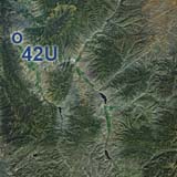
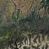
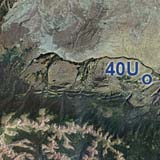
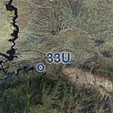
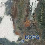
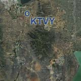
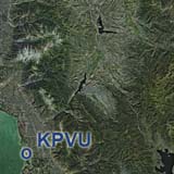
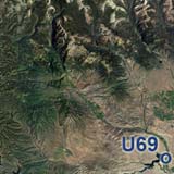
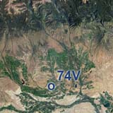
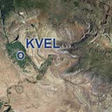
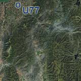
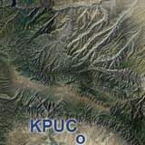
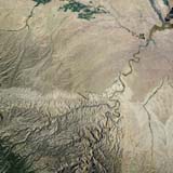
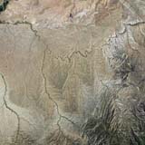
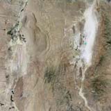
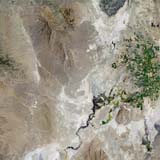
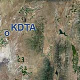
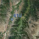
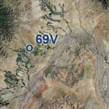
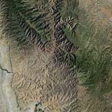
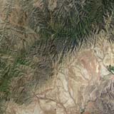
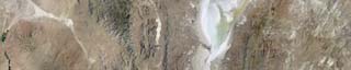
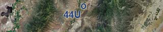
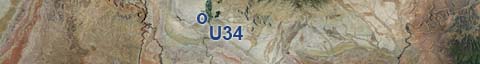
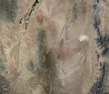
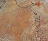
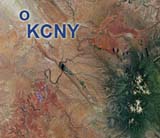
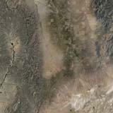
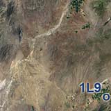
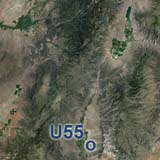
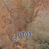
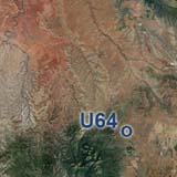
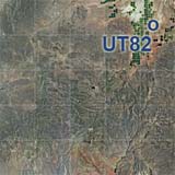
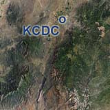
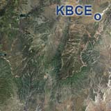
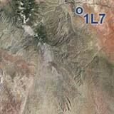
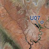
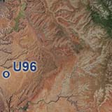
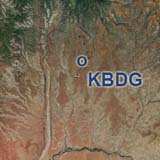
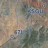
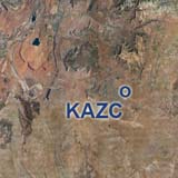
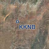
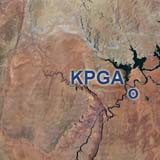
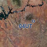
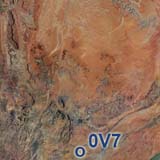
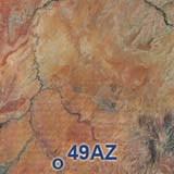
Southern Utah - that's labyrinths of canyons and colorful layers of sand and limestones comprising world renowned places like Arches- and Canyonlands National Parks. Seeing this beautiful land from above is a stunning new experience that gives you the big picture from a bird's eye view. This scenery is made from aerial photographs. No more ever repeating tiles. Every area looks different and real. You will find any dirt road and might even be able to follow some hiking trails. Or follow the Colorado River in one of it's most beautiful stretches. You have the choice of larger airports like Canyonlands Airport near Moab (KCNY) or small dirt strips in remote areas like Needles Outpost (UT59). Dust off your big footed SUV-plane and log some hours of bush flying. This overview map shows our current Utah coverage. Click on the thumbnail of any region to go to it's download page. Navigate to neighboring states: West to Nevada East to Colorado North to Idaho North to Wyoming South to Arizona
|
You can support the freeware project by visiting our sponsored links:
|
All information on this site strictly for simulation use only! |
All Trademarks copyrighted. (c) by BlueSkyScenery. All rights reserved. 
|
||||||||||||||||||||||||||||||||||||||||||||||||||||||||||||||||||||||||||||||||||||||||||||||||||||||||||||||||||||

 The ChiliView Series - Utah