Home Downloads Screenies FAQ Project Flights Comments/Awards Donations

 The ChiliView Series - California


ATTENTION: Due to the shutdown of MegaUpload many sceneries are currently unavailable.
Those sceneries are marked by a red X.
We are currently in the process of improving and reuploading those sceneries to a new file hoster.
But due to the enormous amount of data and our improvements this will take some time.
Thanks for your patience and sorry for any inconvenience.


Scenery: More (): Prev Next


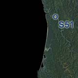
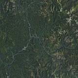
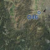
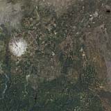
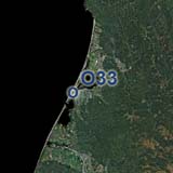
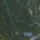
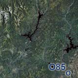
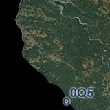
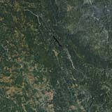
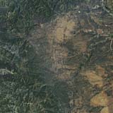
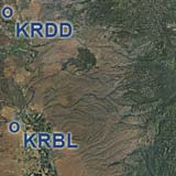
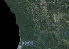
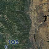
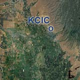
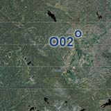
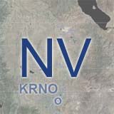
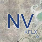
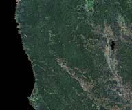
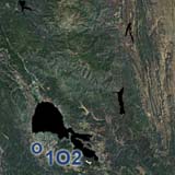
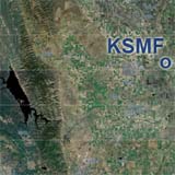
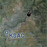
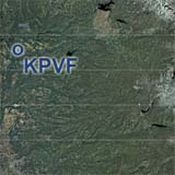
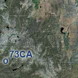
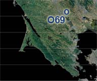
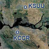
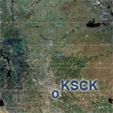
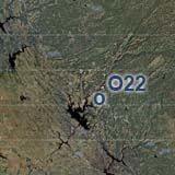
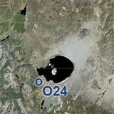
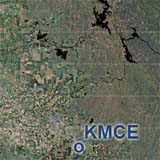
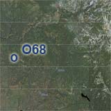
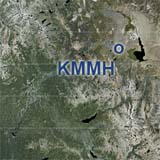
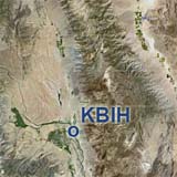
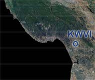
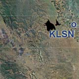
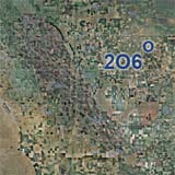
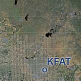
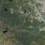
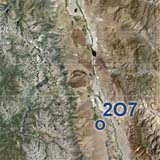
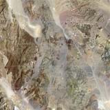
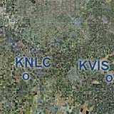
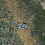
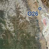
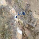
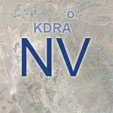
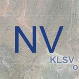
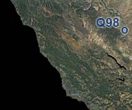
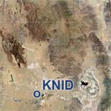
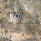
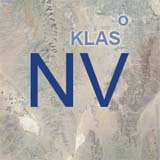
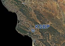
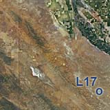
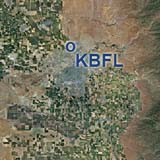
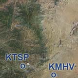
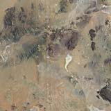
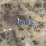
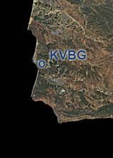
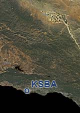
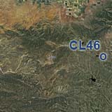
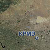
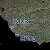
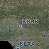
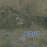
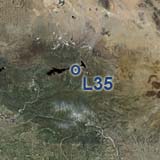
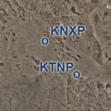
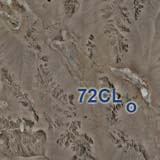
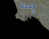
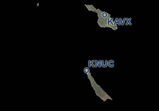
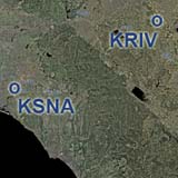
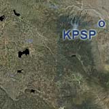
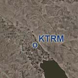
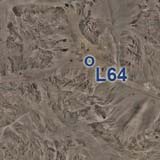
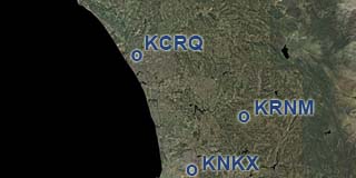
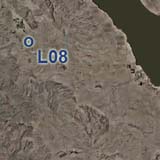
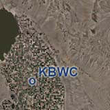
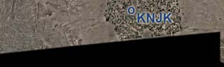
California is where BlueSkyScenery started in 2006. Now we are returning in large scale high resolution.
California's diverse landscape provides stunning views for pilots. It ranges from the coast of the Pacific Ocean with the mega cities Los Angeles and San Francisco to the Sierra Nevada mountain range and the Mojave desert with Death Valley.
California is absolutely download friendly with just 5 convenient downloads per ChiliView region.

This overview map shows our currently expanding total California coverage in ChiliView quality.
The older sceneries are available in the download section.
Click on the thumbnail of any region to go to it's download page.

Navigate to neighboring states: East to Nevada


Sierraville (O79), Nervino (O02) Reno (KRNO) Fallon Mun. (KFLX), Fernley/Tiger (N58) Fallon Naval Range, Stillwater Range
Lake Tahoe West, Truckee (KTRK), Desolation Wilderness  Lake Tahoe East, South Lake Tahoe (KTVL), Carson City (KCXP) Fallon NAS (KNFL), Yerrington Mun. (O43) Fallon Naval Range South, Gabbs (KGAB)
Sacramento West, Sacramento Intl. (KSMF) Sacramento East (KSAC, KMHR, KMCC) Placerville (KPVF), Sierra Foothills Alpine CO (M45), Bear Valley (78CA) Rosaschi (N59), Walker Lake Hawthorne (KHTH)
San Francisco Bay NorthWest, Point Reyes San Francisco Bay NorthEast (Napa, Travis AFB, Buchanan) Stockton (KSCK) Sierra Foothills, Columbia (O22) Yosemite National Park NorthWest - Hetch Hetchy Yosemite National Park NorthEast, Lee Vining (024), Mono Lake Boundary Peak - Montgomery Pass Area Coaldale (2Q6)
San Francisco Bay Area South (SFO, SJC, OAK) Modesto (KMOD), Tracy (KTCY) Merced (KMCE, KMER) Yosemite National Park SouthWest - Yosemite Valley Yosemite National Park SouthEast - Mammoth Yosemite (KMMH) Bishop (KBIH) Goldfield (0L5), Lida (0L4)
Nothern Monterey Bay, Santa Cruz, Watsonville (KWVI) Hollister (3O7), San Luis Reservoir, Los Banos (KLSN) Madera County, ChowChilla (2O6) Fresno Yosemite (KFAT) Kings Canyon National Park West Kings Canyon National Park East Death Valley National Park Northwest Death Valley National Park Northeast, Beatty (KBTY)
Monterey (KMRY), Salinas (KSNS), Pacific Coast, Highway 1 King City, Mesa Del Rey (KKIC), Pinnacles National Monument Coalinga North (C80), San Benito Mountain Central Valley, Lemoore NAS (KNLC) - Visalia (KVIS) Sequoia National Park West Sequoia National Park East & Owens Valley Death Valley National Park West to Owens Valley Death Valley National Park Central, Furnace Creek (L06) Northern Pahrump Valley, Mercury (KDRA)
San Simeon, Santa Lucia Range Paso Robles (KPRB) Corcoran (KCRO) Porterville (KPTV), Delano (KDLO) Kern Valley (L05), Domeland Wilderness China Lake (KNID), Inyokern (KIYK) Death Valley National Park South Southern Pahrump Valley, Shoshone (L61)
San Luis Obispo (KSBP) Carrizo Plain Nat'l Mon., Soda Lake


You can support the freeware project by visiting our sponsored links:
All information on this site strictly for simulation use only!
All Trademarks copyrighted. (c) by BlueSkyScenery. All rights reserved.