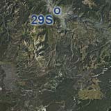
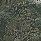
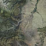
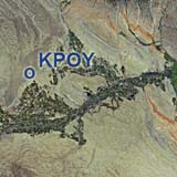
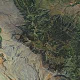
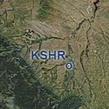
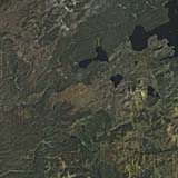
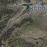
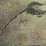
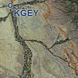
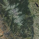
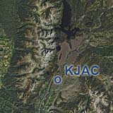
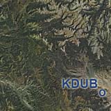
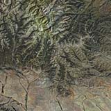
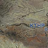
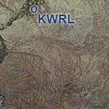
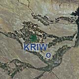
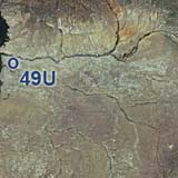
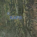
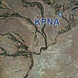
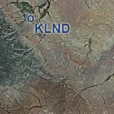
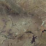
Your virtual vacation in the mountains. Just a download away! We believe, that this is our best mountain scenery so far. Do what airline captains do in their pasttime. Enjoy nature, fly the backcountry with a light aircraft and leave the FMC at home. This overview map shows our currently expanding total Wyoming coverage in ChiliView quality. Click on the thumbnail of any region to go to it's download page. Navigate to neighboring states: West to Idaho North to Montana South to Utah
|
You can support the freeware project by visiting our sponsored links:
|
All information on this site strictly for simulation use only! |
All Trademarks copyrighted. (c) by BlueSkyScenery. All rights reserved. 
|
|||||||||||||||||||||||||||||||||||||||||||||||||||||||||||||||||

 The ChiliView Series - Wyoming