The ChiliView Series - Coalinga North (C80), San Benito Mountain The ChiliView Series - Coalinga North (C80), San Benito Mountain
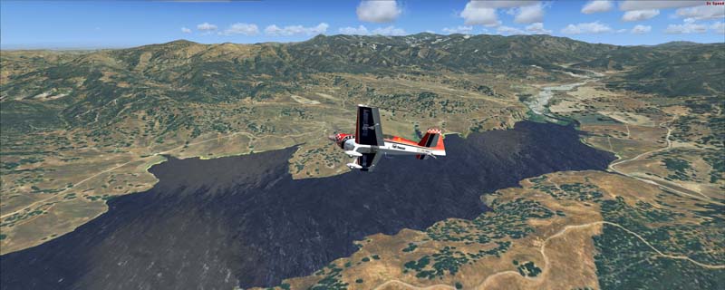
This region covers the area north of Coalinga including the San Benito Mountain area. It is best explored from New Coalinga Municipal Airport (C80). North of the city you can overfly Old Coalinga Airport (closed), and west of the city you'll see a large oil field. Further to the northwest lies San Benito Mountain, which largely consists of serpentine soil, producing a bizarre landscape that is devoid of life in some loacations and full of an unique blend of plant life in others. Serpentine mineral also contains chrysotile, a long fiberous mineral better known as asbestos. The mountain also contains many other rare minerals like benitoite, neptunite, joaquinite and cinnabar. In the past there were extensive mining activities in this area which left a dense network of dirt roads clearly visible from the sky. They attracted the OHV (Off Highway Vehicle) crowd until the whole area was closed in 2008 due to severe asbestos related health hazards (lung cancer).
It covers a total of 3625 sq km.
For FSX and Prepar3D.
The resolution of 1 m/pix brings you razor-sharp images even near the ground.
Best enjoyed in low and slow operations!
Also contains a 10 m high resolution elevation mesh.
Navigate to neighboring regions:
North
South
East
West
|
!!! BlueSkyScenery needs YOUR help !!!
If you like our sceneries, then please give a little donation.
Your donation makes a difference and helps us to continue this project!
|
Give $1.00:
|
|
|
Give $5.00:
|
|
|
Give $10.00:
|
|
|
Give $20.00:
|
|
Download:
|
FS9 Version:
|
Scenery
|
Airports
|
| |
|
For FSX & P3D:
|
Scenery
|
Airports
|
Scenery Mirror
|
You can support the freeware project by visiting our sponsored links:
|
|
|
All information on this site strictly for simulation use only!
All Trademarks copyrighted. (c) by BlueSkyScenery. All rights reserved.

|
|
|